Français
CORES


CORES
Exploration of the urban space→ ANR CORES
→ Université Paris 1 Panthéon-Sorbonne
→ Université de Bretagne Occidentale
→ Université Aix-Marseille
→ Université de Toulouse 2
CORES is a research project studying the relationship between the exploration of urban space and its spatial representation.
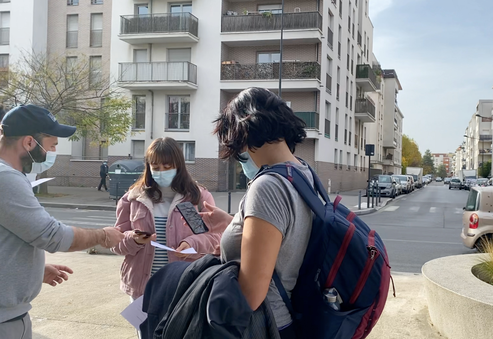
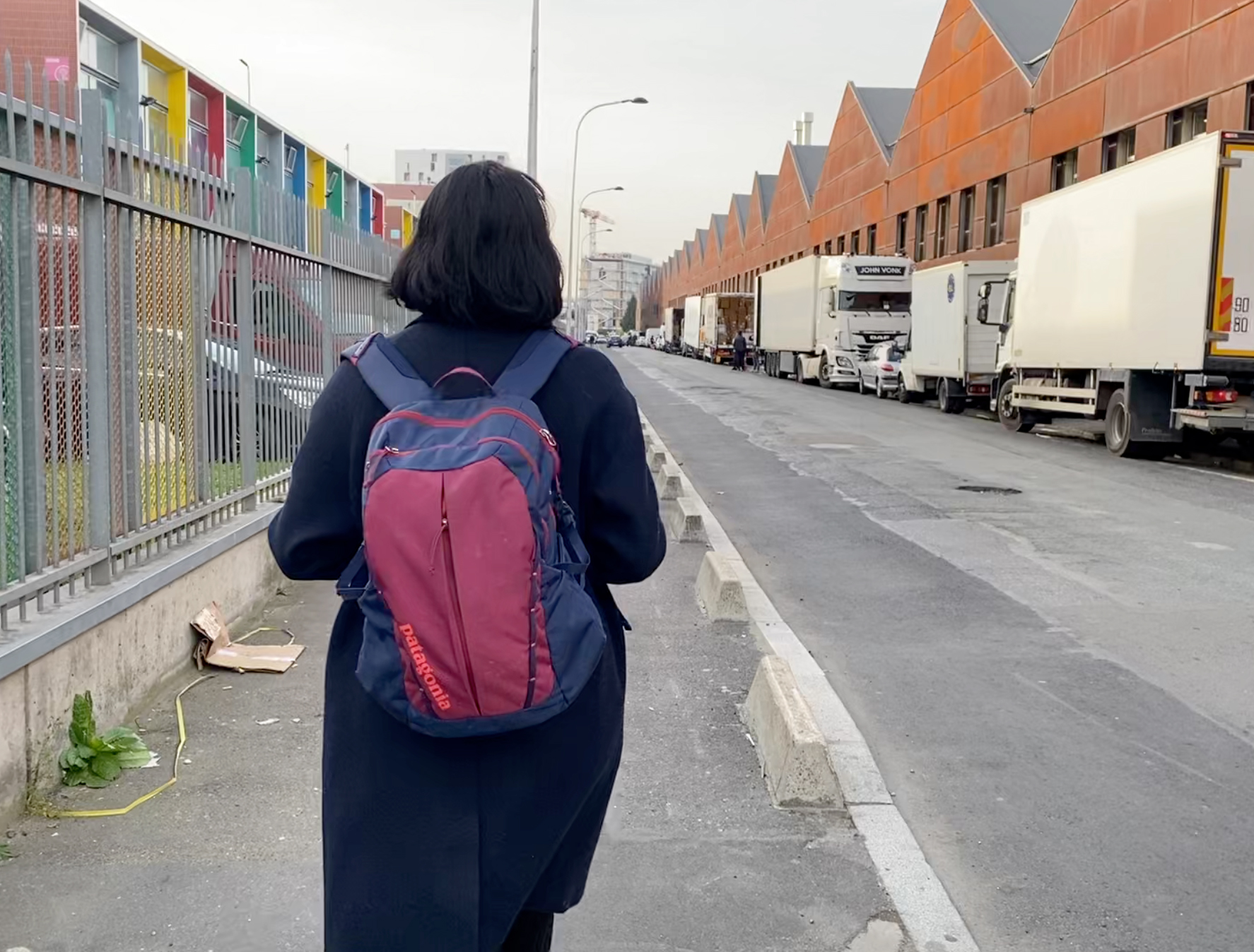
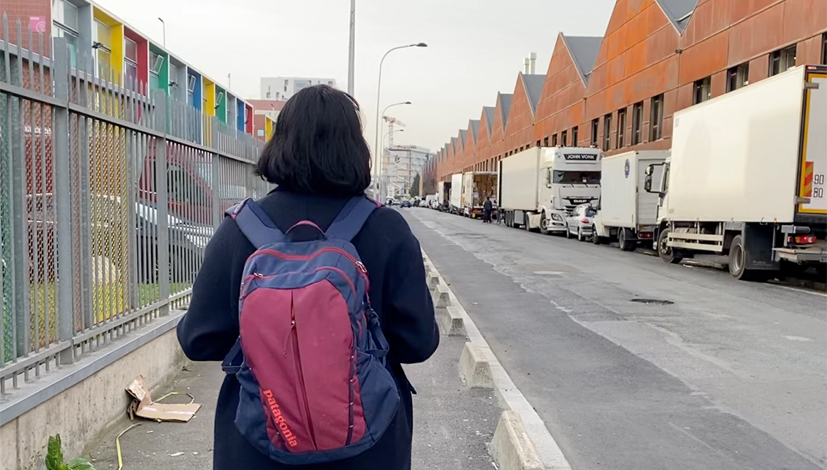
The practice of walking in urban areas has been significantly transformed since the arrival of instrumental mapping tools such as Google Maps. With an experiment conducted over several years on walks done collectively using a shared mapping application, a central question has emerged: to what extent are instrumental and shared mappings likely to modify our behaviors and spatial representations?
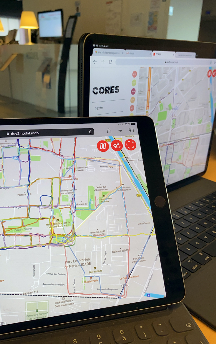
As part of the CORES project, Orbe has developed a mobile application for real-time mapping of a group's walking trajectories in public space. Each walker can see on their screen the trajectories of the members of their group. After a walking phase, the group is asked to create a collective map of their experience of discovering the neighborhood. Orbe has implemented a trajectory analysis software to relate them to the map elements drawn by the participants.
Credits
Partners :University Paris 1 Panthéon-Sorbonne
University Bretagne Occidentale
University Aix-Marseille
University Toulouse 2
Gallery